
The Best
Beaches
How to get here
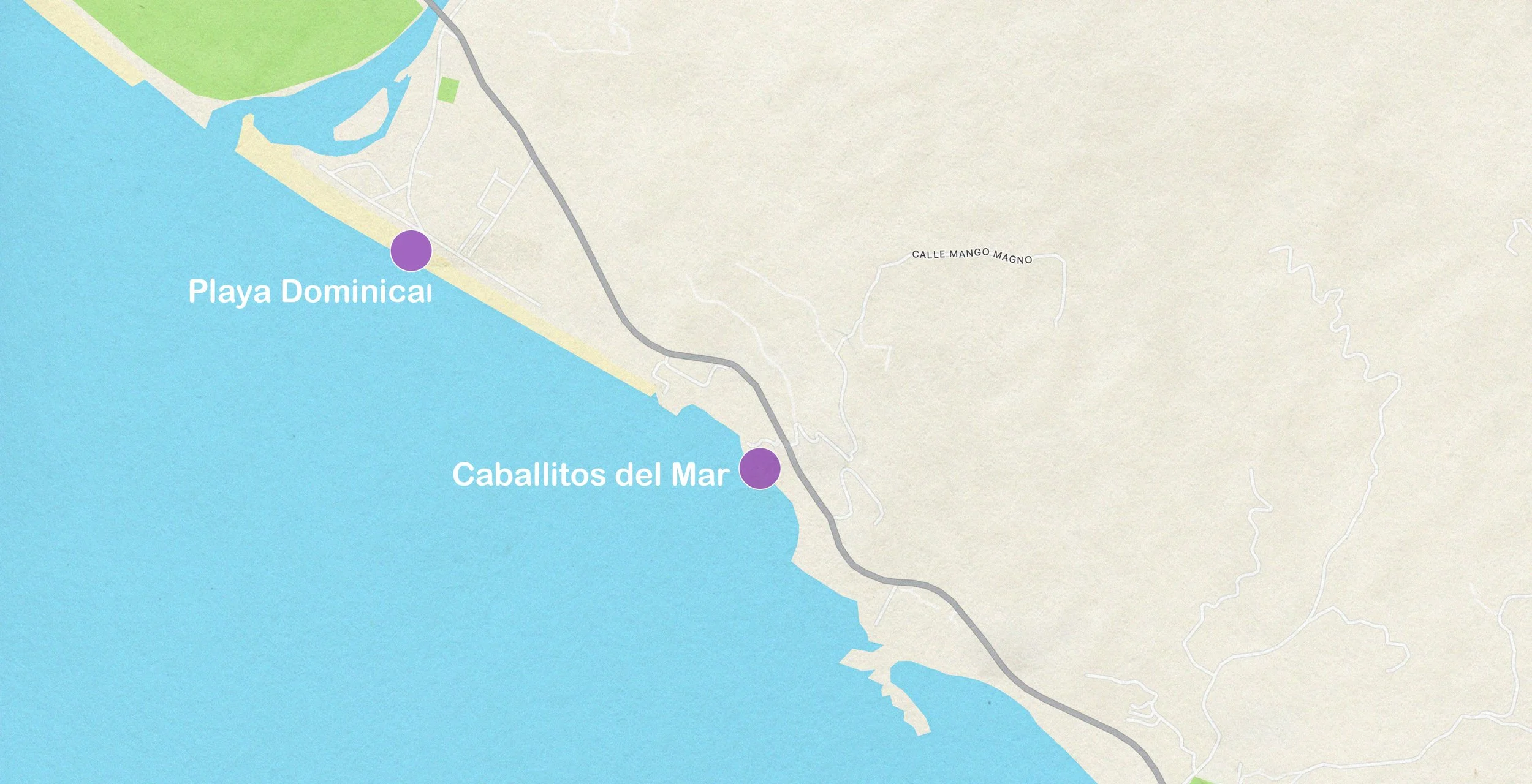
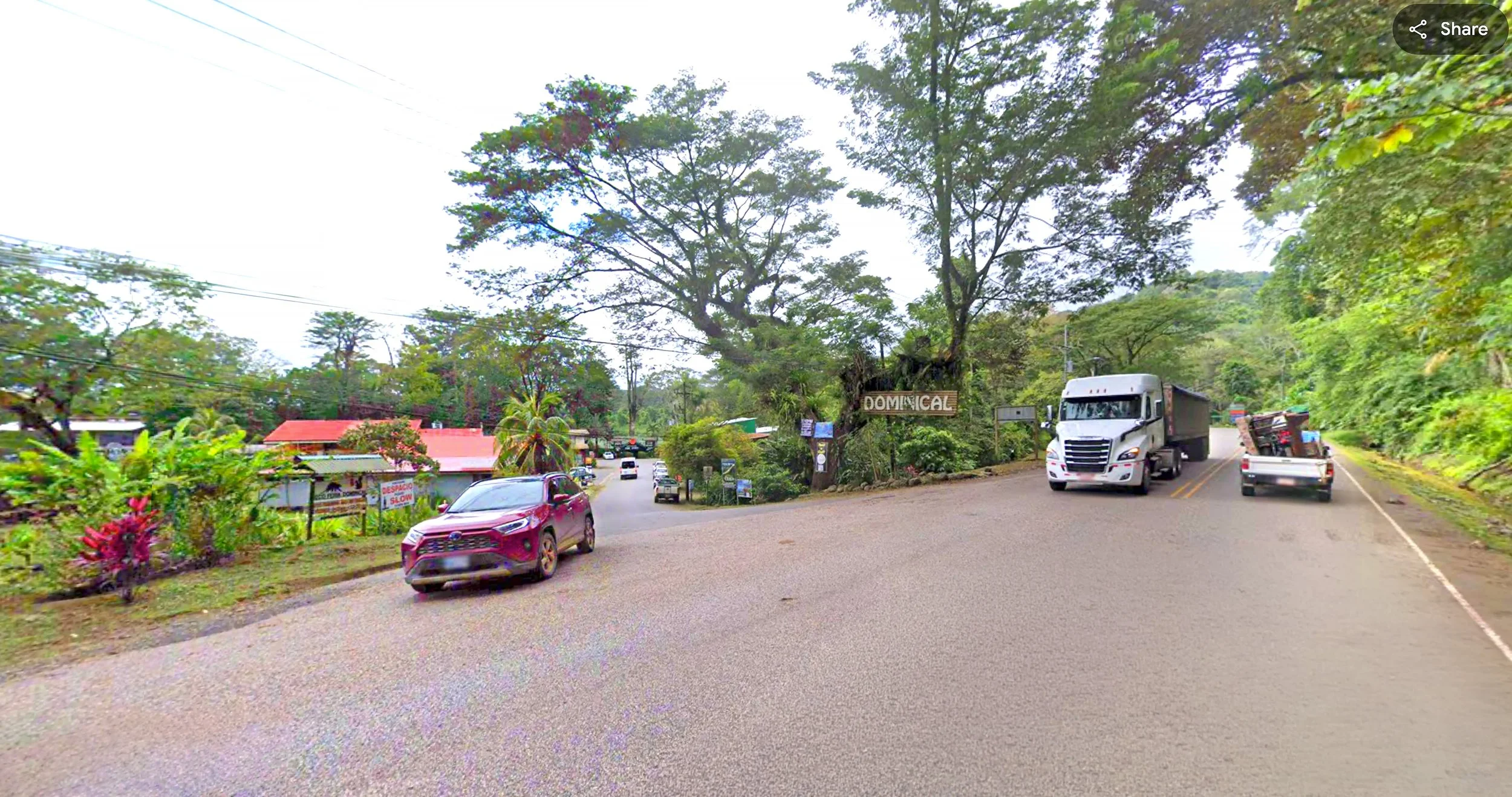
We’ve taken the liberty of splitting Playa Dominical into two lovely halves: the northern portion which runs along the town of Dominical, and the southern section which is adjacent to Caballitos del Mar. To get to the beach near Dominical, turn off Highway 34 immediately after the Rio Baru bridge where you’ll see a large Dominical sign. Drive through the town until you get to a long stretch of palms. You can also take the dirt road which is immediately after the BM supermarket.
See below for instructions for Caballitos del Mar access.

Surf
Dominical offers a variety of surf breaks suitable for all skill levels, with several excellent spots just a short walk north towards town from the villas. Before heading out, ALWAYS check local conditions at a surf shop and be aware of the significant tidal variations—generally 8 feet every day. Surfing along the Costa Rica coast requires strong swimming skills and an understanding of how to navigate potential riptides. The waves can range from modest to massive, making local knowledge essential for a safe and enjoyable experience.


Beach info
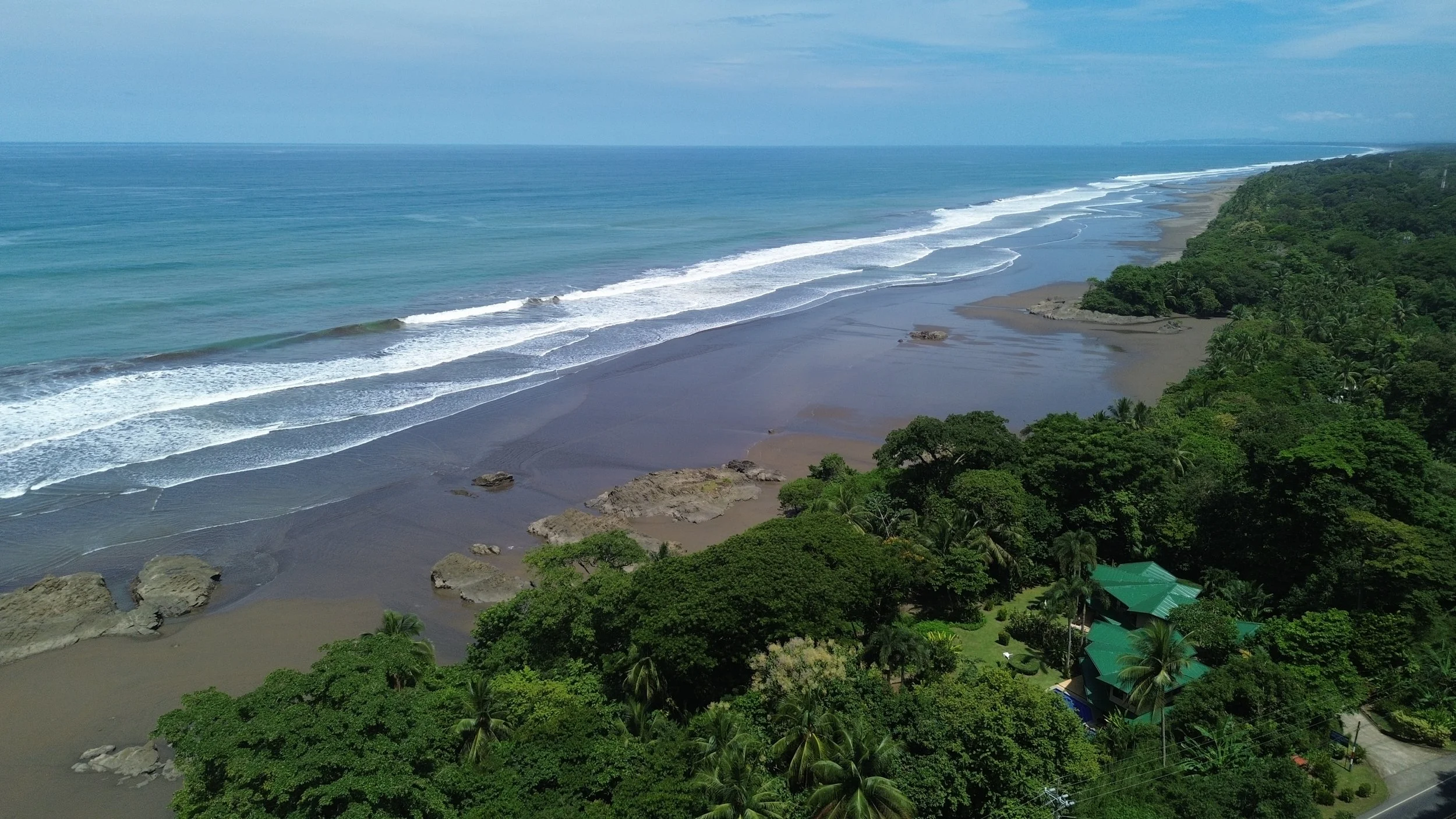
This is the beach located immediately outside Caballitos del Mar, and it extends about 2km to the northwest, until it runs into Rio Baru. You can walk from Caballitos del Mar to Dominical in about 20 minutes at low tide. The salvavidas (lifeguards) patrol the beach near Dominical, and will post flags on the beach that indicate where they are watching swimmers. The beach is known for medium to large surf, so it’s a favorite of more experienced surfers. Easy access to the town of Dominical guarantees a quick lunch or a cold drink if the beach is too warm. The beach can develop rip currents, so never swim alone (good advice for any beach), and be especially careful when the waves are large.
How to get here
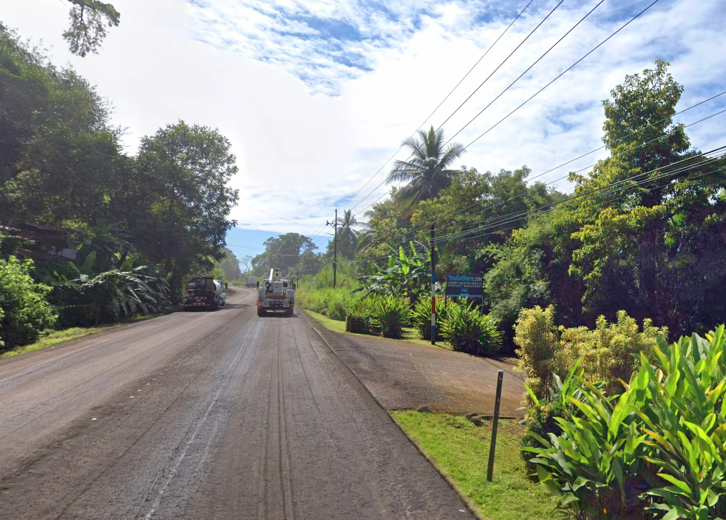
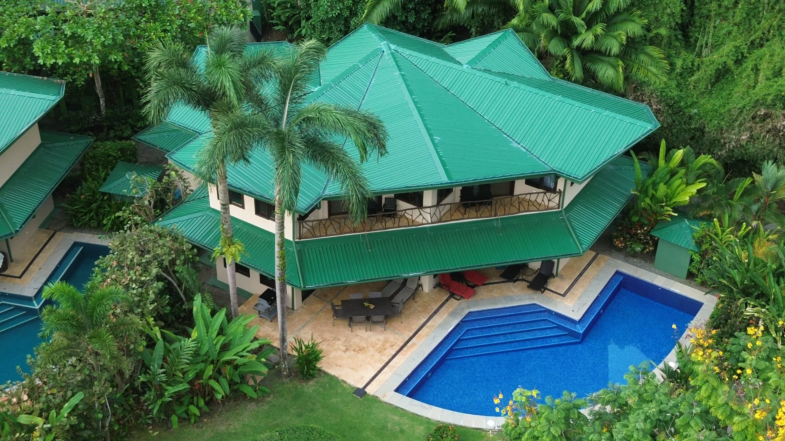
Our villas, Caballitos del Mar, are located about 1.7km south from the entrance to Dominical from the coast highway (La Costanera.) You’ll see a striped electical pole, and a YouGetHere sign on the right hand side. Put on your turn indicator, and give traffic behind you lots of warning because you have to slow WAY down to make the turn into the driveway, which is steep. Turn into the driveway on the left for Villa Central and Villa Sur, or continue to the second gate for Villa Norte.
Surf
This is the most accessible beach, just a five-minute walk north from your villa. It’s best enjoyed at low to mid tide, though it’s still accessible at higher tides if you enter in the water by walking an additional ten minutes further north well past the cliffs and you're willing to walk the highway back to the villas once your finished. While the waves here aren't as well-formed as other spots, it’s still a fantastic place to refine your skills—perfect for a second session of the day. Expect some foam-riding, which is ideal for beginners looking to practice their pop-ups, balance, and simply enjoy a refreshing swim.
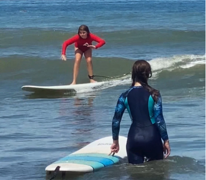
Keep an eye on your position, as the tide will gradually pull you away from your entry point. If you'd rather avoid a highway walk back, be sure to leave before the tide rises too much, ensuring there's enough beach left for your return walk back to the villas. As always, when venturing into the ocean, be prepared to swim out of a riptide by moving parallel to the shore. Remember, the tropical sun sets quickly, so make your way back to the villas well before sunset. Don't fall into the temptation of "just one more wave"—darkness sets in within minutes.
Beach info
While the tides make a difference at any beach in Costa Rica, they have a profound effect on Playa Dominical and the beach immediately in front of Caballitos del Mar. The tides average about 2.5m (8 feet) so the appearance and ability to navigate the beach changes dramatically. At high tide, the water swirls up to the jungle in front of the villas, and the sound of the surf gets more and more intense. But as the tide ebbs, more and more monument rocks poke out of the water, and the beach becomes more walkable and swimmable.
At half-tide, you can slip past the rocks in front of Roca Verde and walk to town in about 20 minutes. The swimming is definitely safer with the Salvavidas (lifeguards), yet you still have to be conscious of rip currents and occasionally big surf.
How to get here
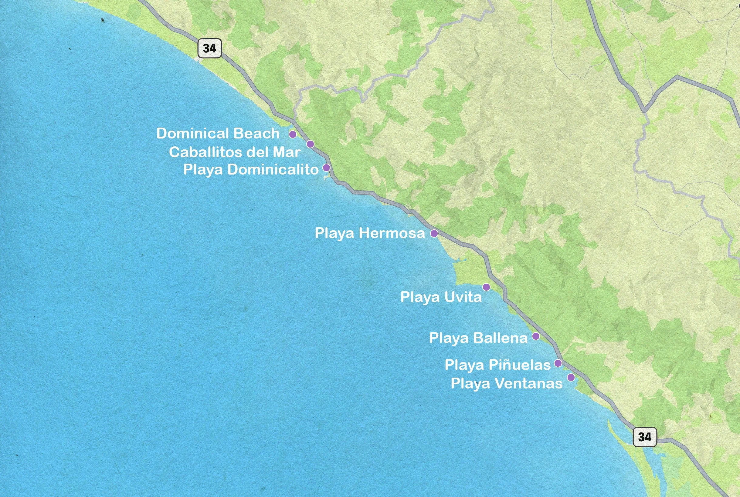
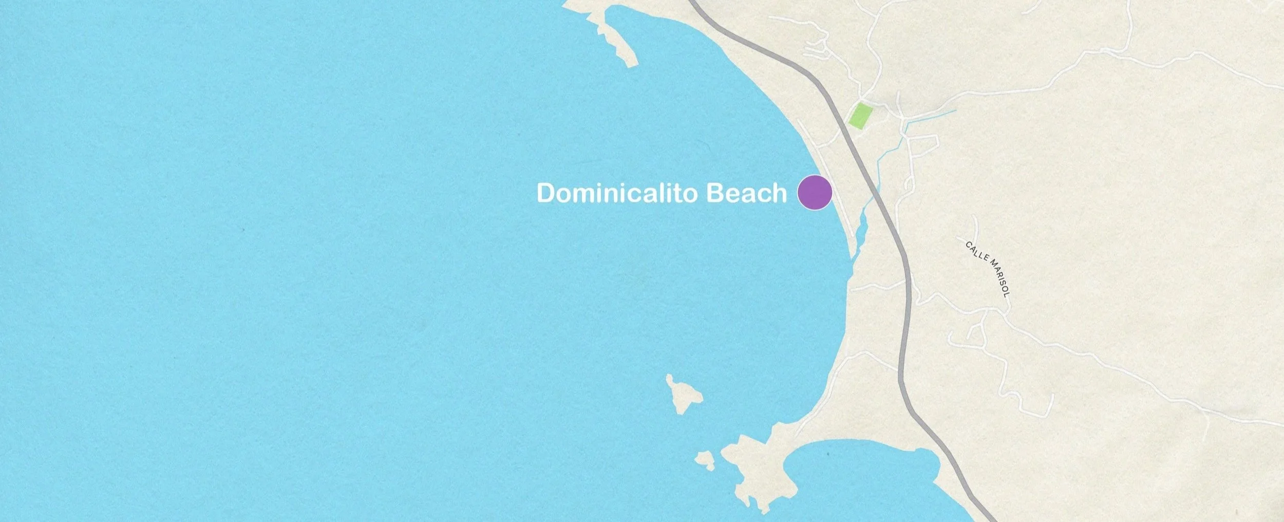
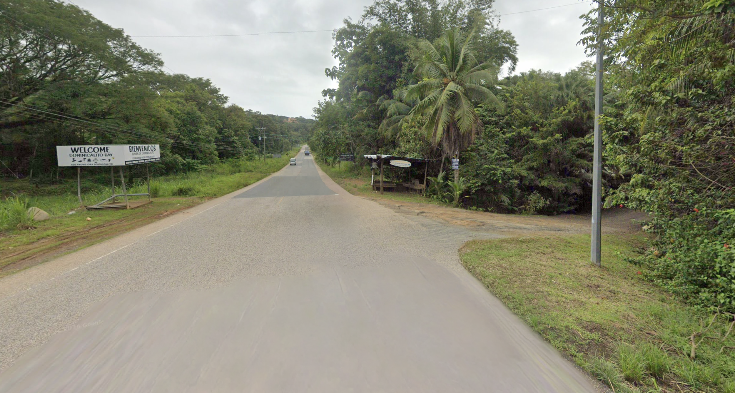
Playa Dominicalito is the first beach south of the villas. It’s 1.9 km (1.3 miles) from Caballitos del Mar, and perhaps 100m from the highway. Look for the right hand turn off the Costanera.
Surf
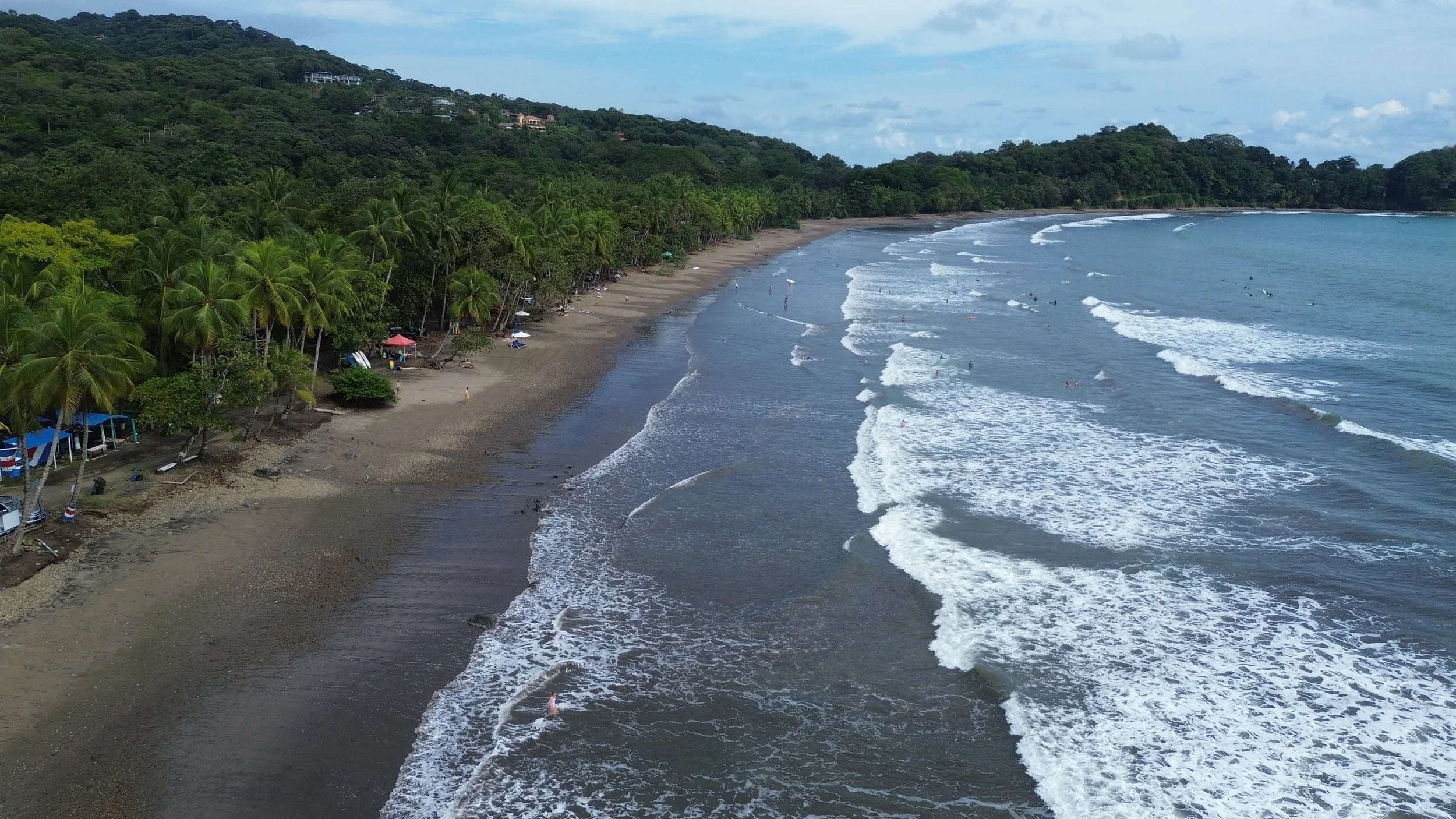
This is the best beginner break and is only a five minute drive south from the villas (Look for Dominicalito Beach sign on highway). Mid to high tide is best as on low tide the rocky surface will be difficult and painful to walk on. There is a parking area and a snack shack where one can grab a cold beer after surfing.
Beach info
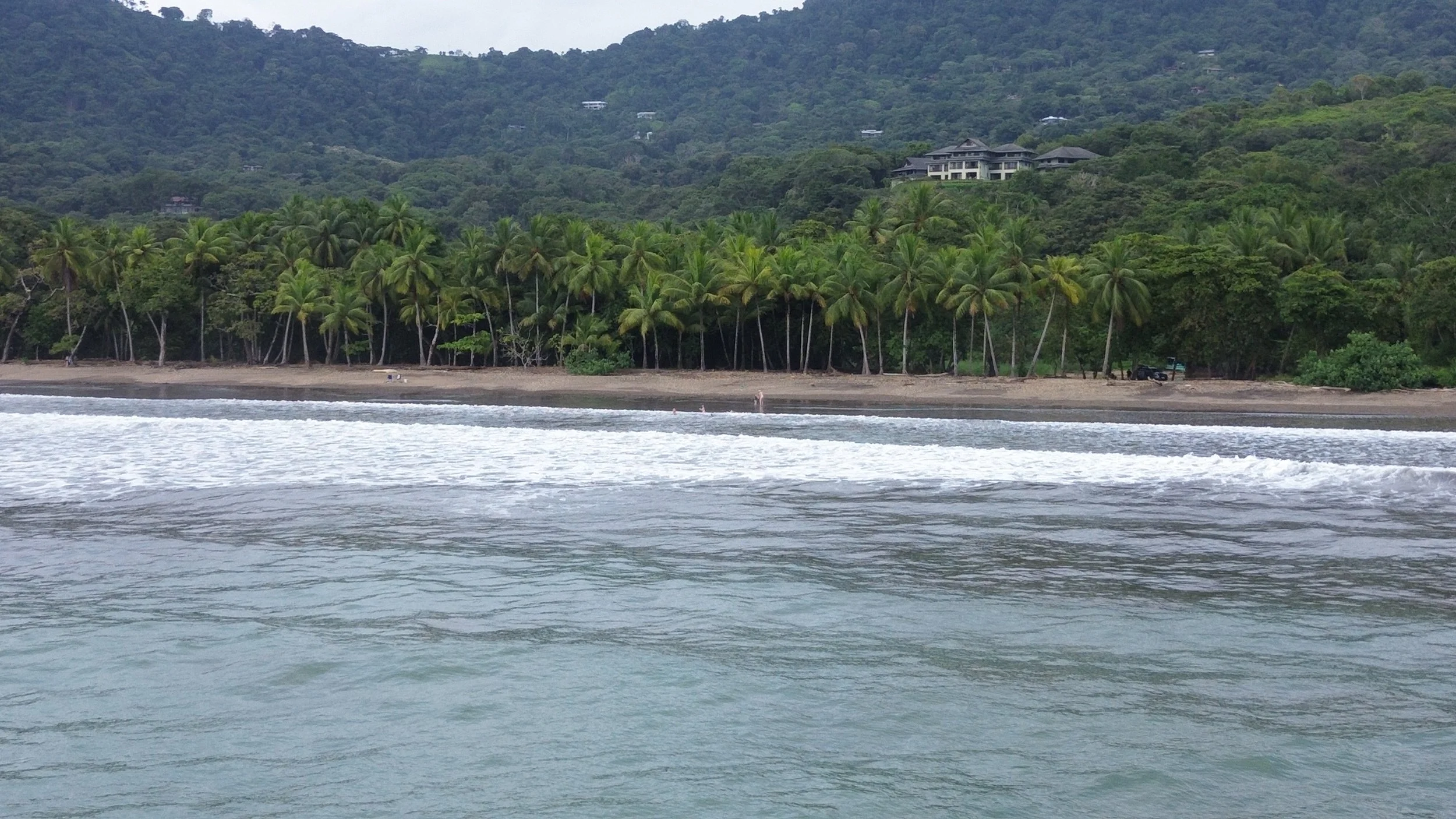
Playa Dominicalito: this is an excellent beach for families and surfers who want to learn on smaller waves before trying the large waves that Dominical is famous for. You’ll see 2-3 fishing boats located at the S end of the bay, located near a tropical islet. Located about 1.7km down the highway to the south, you’ll find an entrance on the right which leads to a large sand parking lot. As with any beach in Costa Rica, don’t park your rental car under the palms that have visible coconuts. Looking south along the beach, you’ll see the point of land where the restaurant La Parcela is located. If you decide to try your luck at sportfishing, this is where you might board a panga for a morning of fishing.
How to get here
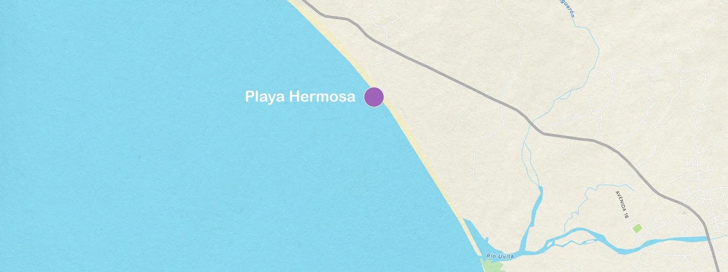
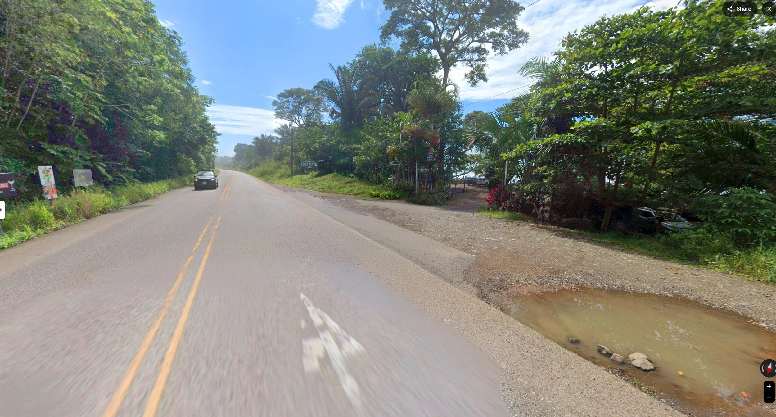
You’ll find the turn-off to Playa Hermosa just 10 minutes/11.2km south of Caballitos del Mar. There’s a sign to the Tiki Villas on the left side of the highway as it descends towards the shore, and then a series of short driveways as the highway continues south.
Surf
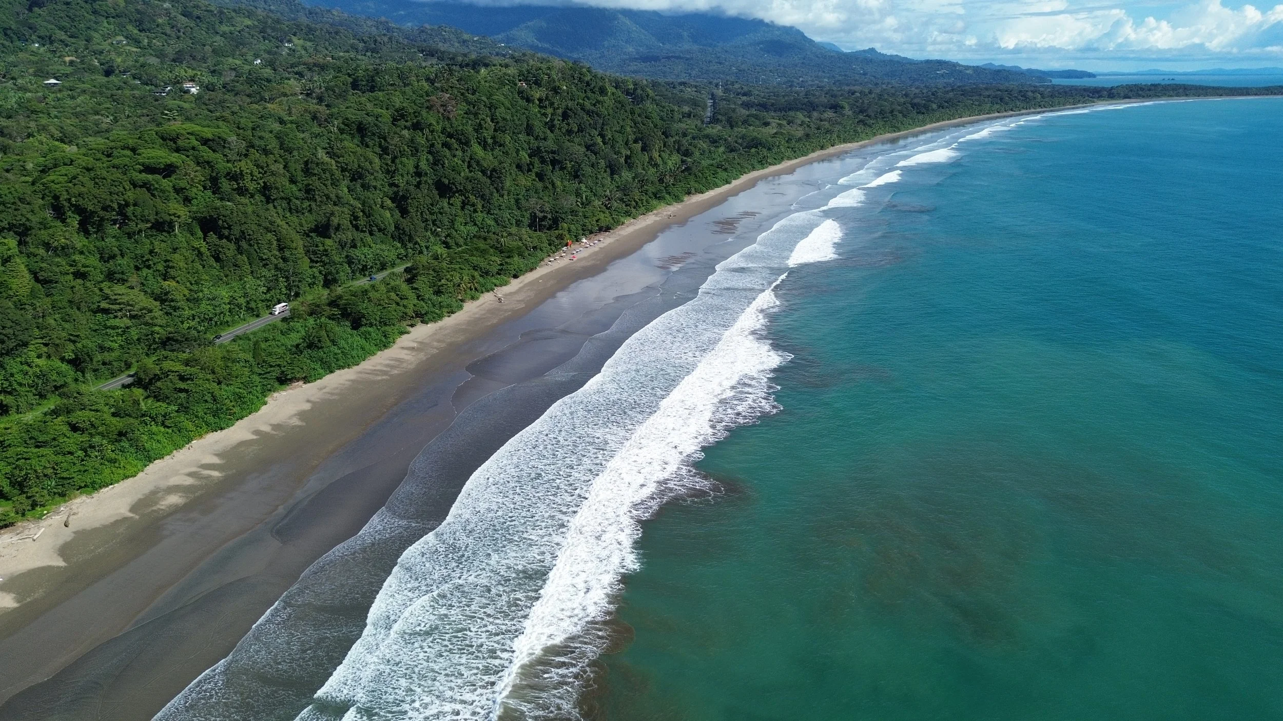
The second driveway south brings you to a sandy beach with ample parking, snack bar and a lifeguard. Mid to high tide. Waves are a little bigger and more powerful than Dominicalito. Better beach for sunbathing and non-surf swimming.
Beach info
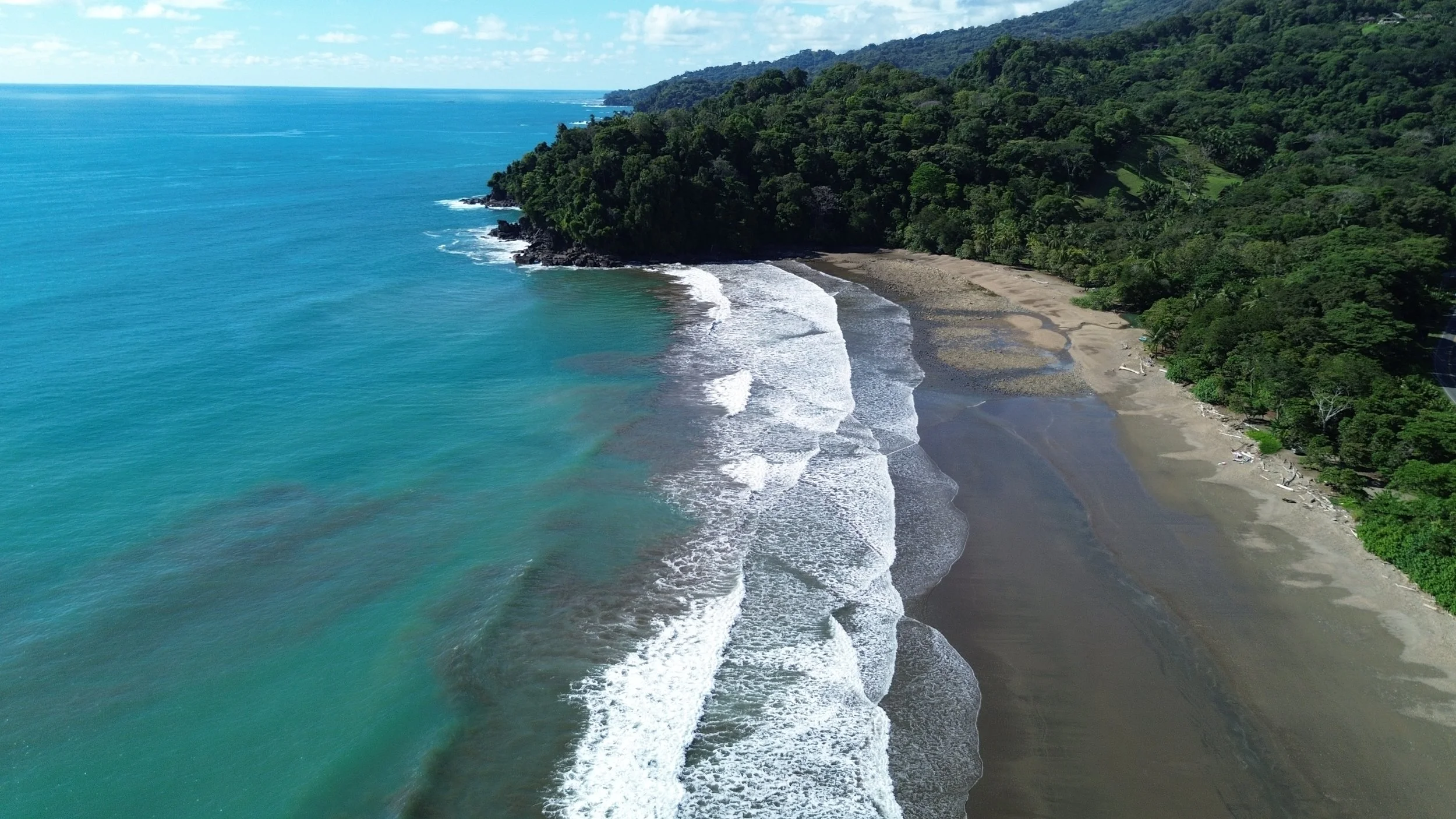
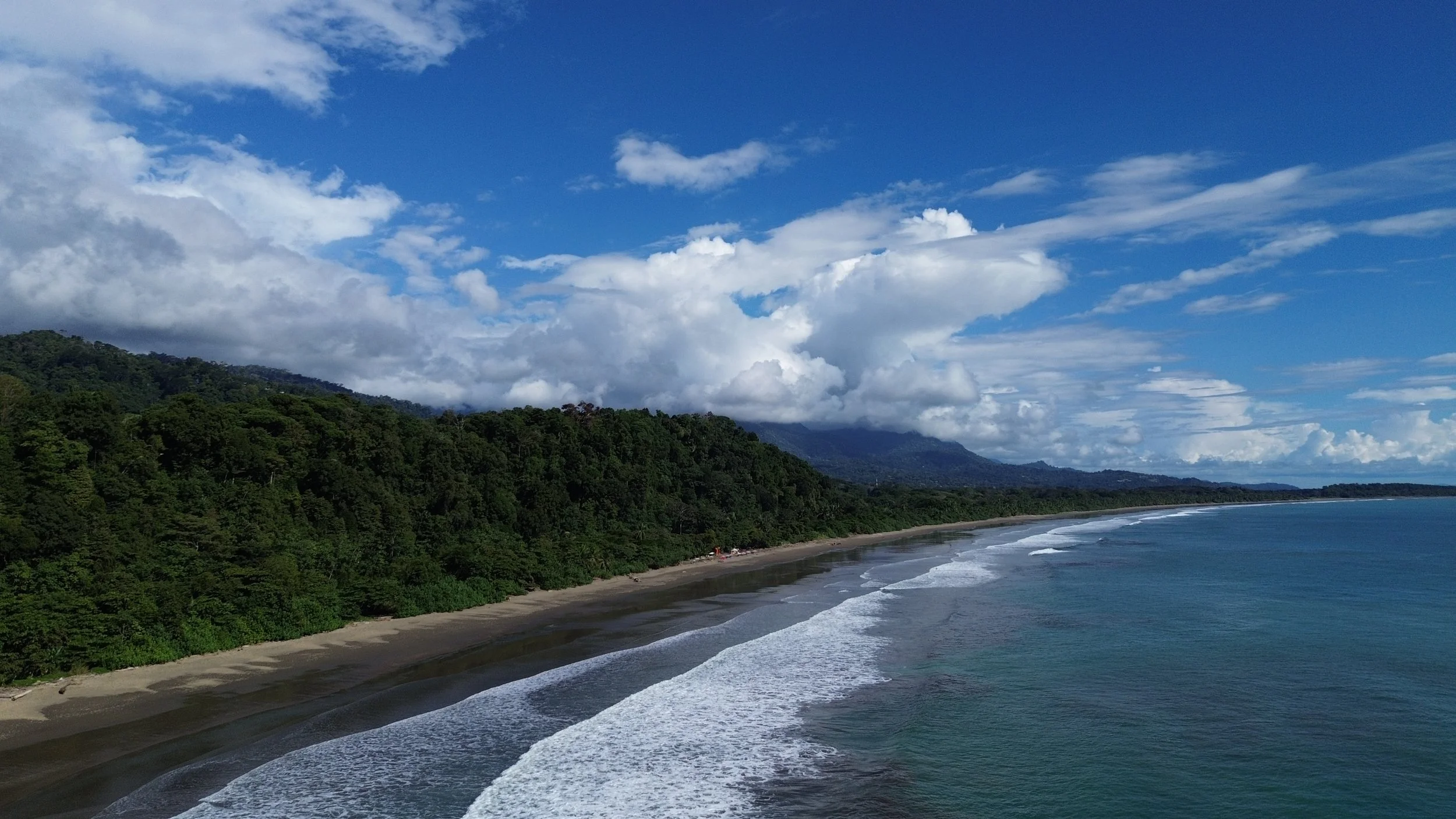
Playa Hermosa is a long beach which runs into the “Whale’s Tail” in Uvita to the south in about 6km. The beach can be filled with gravel and small rocks, depending on the tide, but the waves are generally small and family-friendly. There are at least two entrances to the beach from the highway, and generally you’ll find vendors offering cold drinks and possibly some hot appetizers. The length of the beach makes it feel uncrowded and natural.
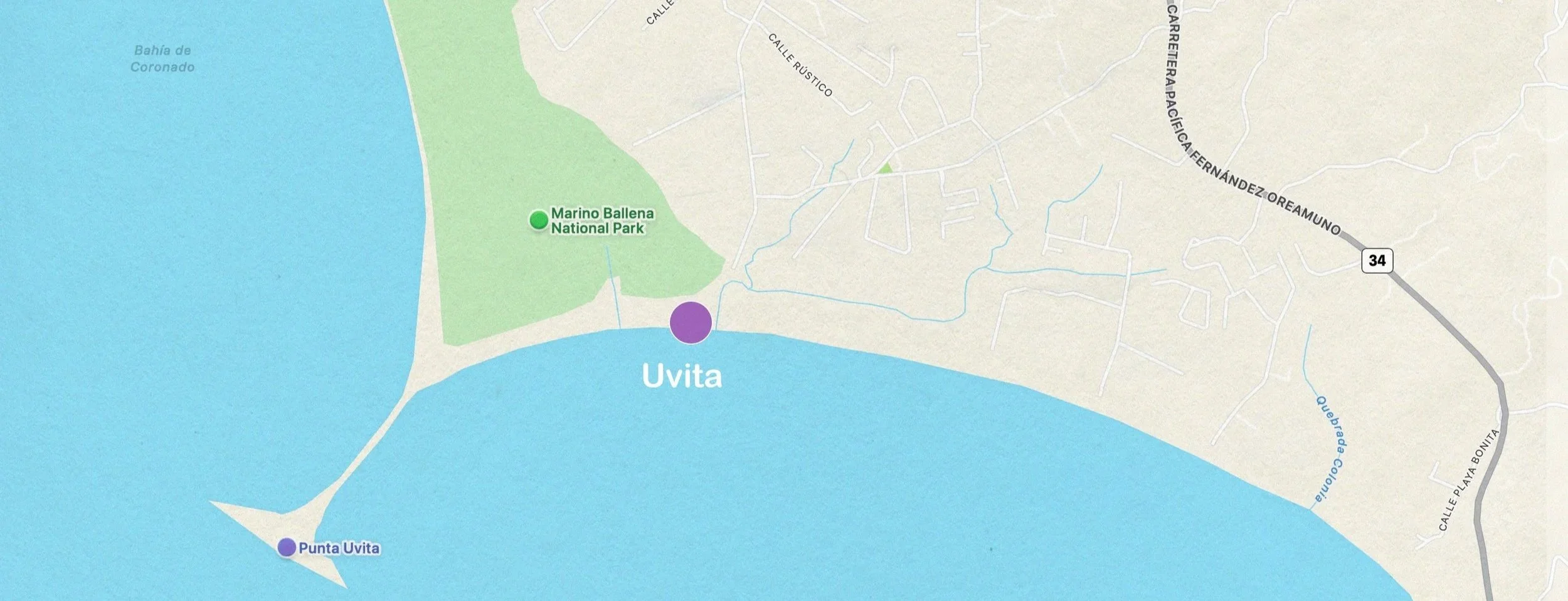
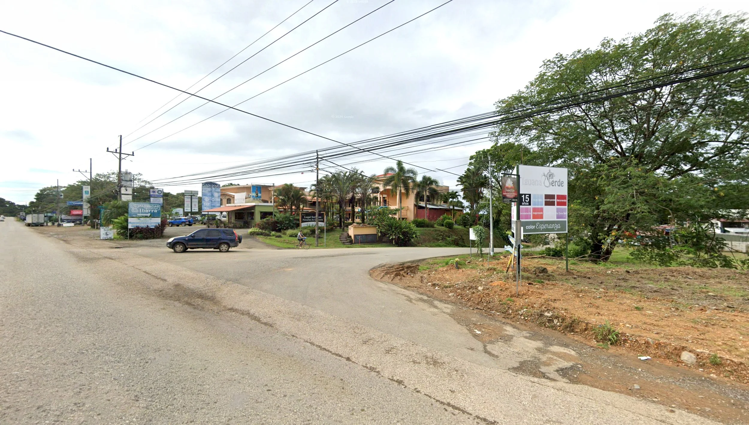
This is a terrible shot of Uvita, but it is where you’ll turn to get to the National Park.
How to get here
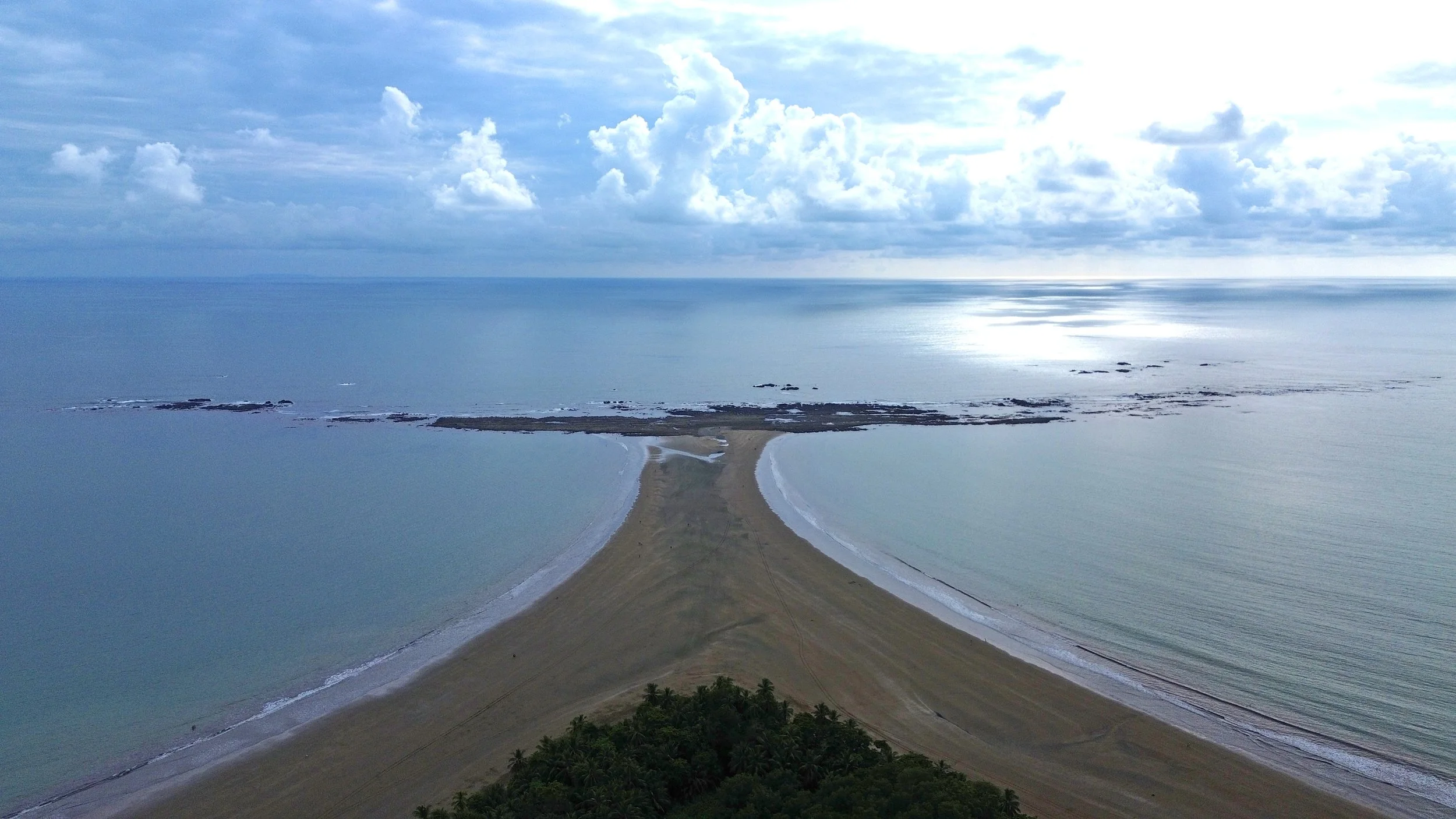
Uvita is the “big town” south of Dominical where you can find a good selection of businesses including building materials, specialty food stores, pool supplies, etc. It is also the home of the “Whale’s Tail”, a fascinating reef that extends into the sea.
Drive 21 minute to the south of Caballitos, turn off the highway onto Calle Bahia (just before the Five Maes restaurant), drive to the road ends and turn left to the parking areas. Covered parking is available for a reasonable charge.
Surf
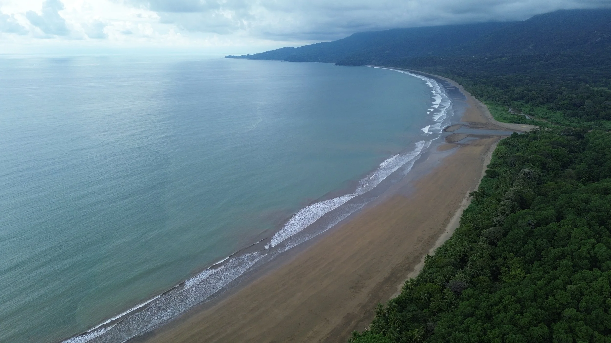
Crescent-shaped and nice sandy bottom. Beautiful views of the mountains from your board. Never crowded and no lifeguard. Not on Surfline so little intel on local conditions.
Beach info
This area is part of a national park (Parque Nacional Marino Ballena) which is a lovely area to spend an afternoon. There’s parking available (some of it covered) from a variety of vendors at the entrance to the park/beach. The turnoff to the park is about 15.5km from our driveway, a short distance beyond the BM Supermarket on the left, and then about 1.3km to a left turn to the beach. At low tide, you can wander out to the Whale’s Tail via the beach.
How to get here
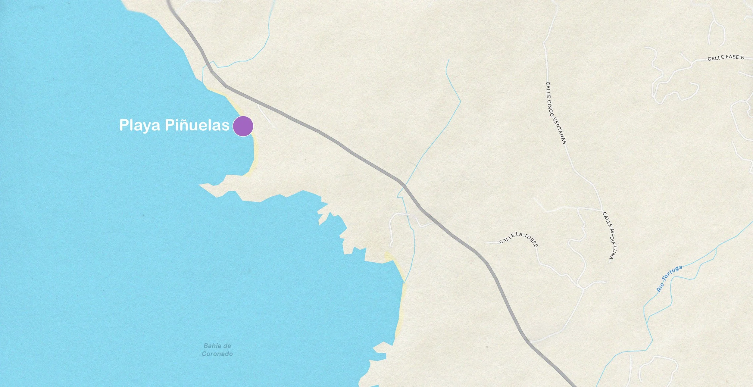
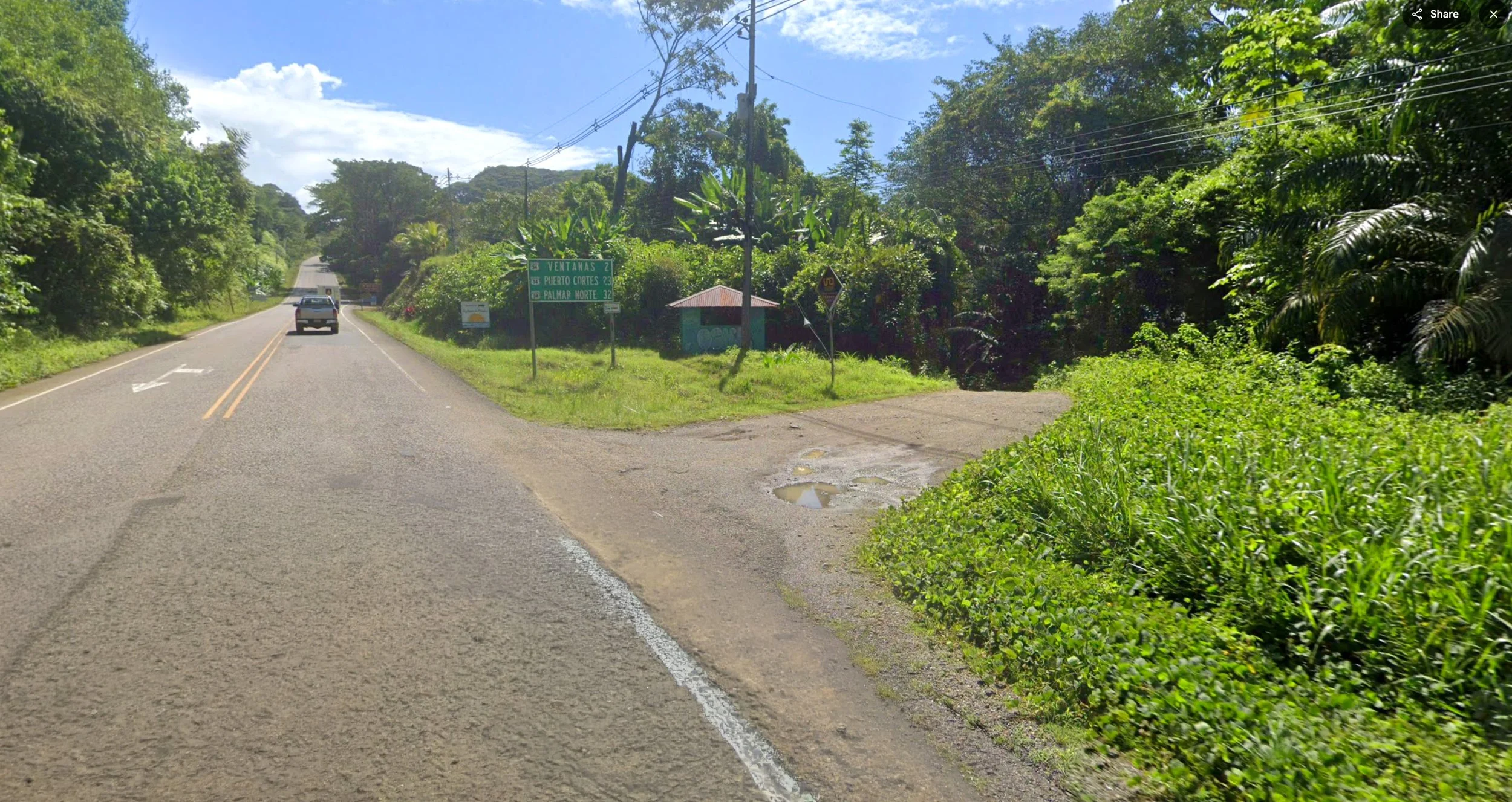
Drive south on the coast highway for 27km from our driveway and look for an access road descending on the right. Turn before you see a highway sign that says VENTANAS 2, and a small green building right after the driveway.
Surf
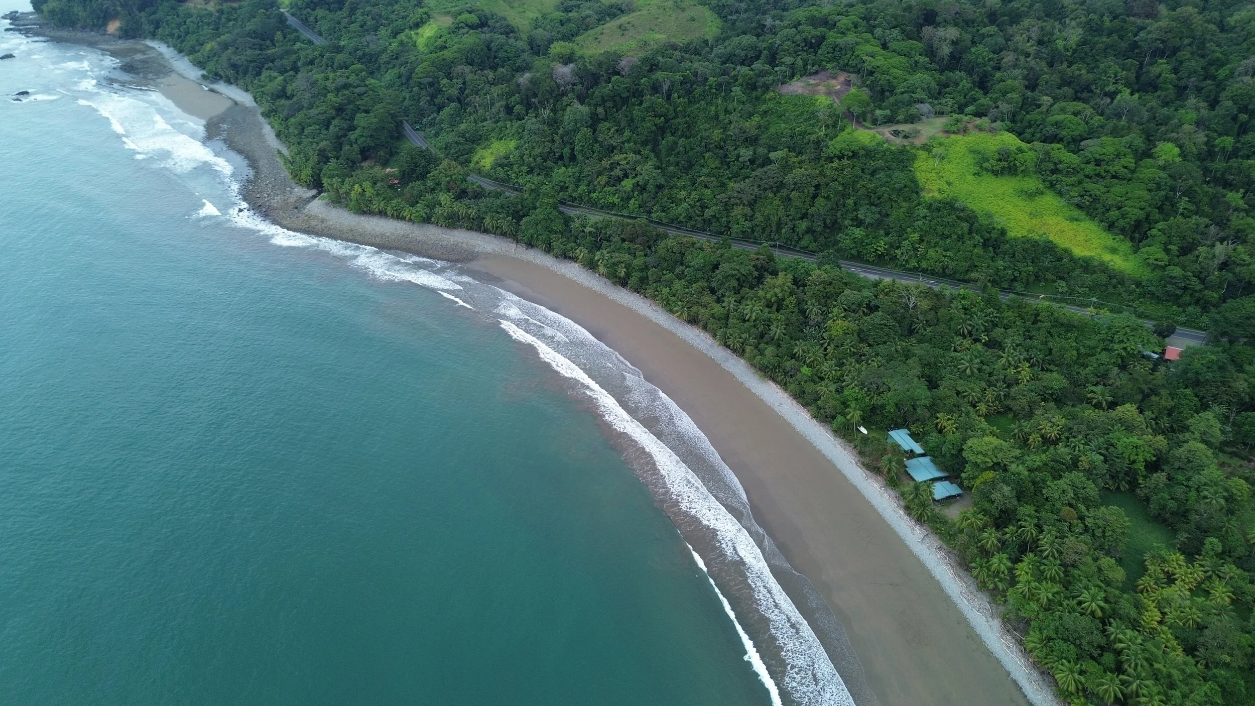
Sorry to say, but I just haven’t come across very many surfable waves at Playa Piñuelas. Maybe it’s bad luck, or maybe it just doesn’t face in the correct direction. However, the beach is beautiful, as you can see, and is great for less strenuous activities like swimming, kayaking, and picnicking.
Beach info
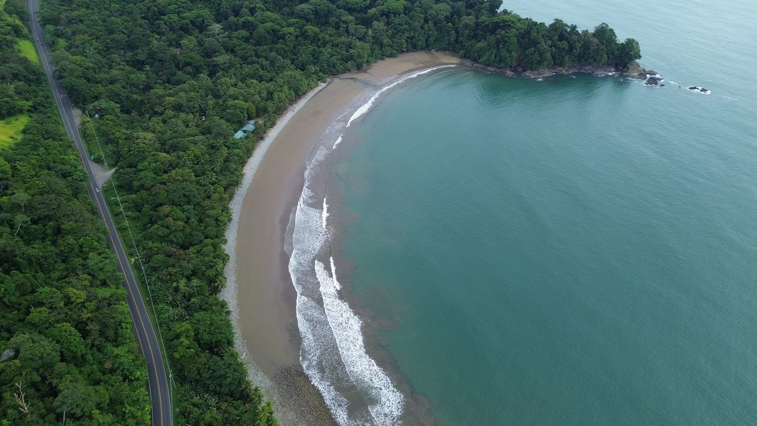
This is a horseshoe-shaped cove just north of Playa Ventanas. From Caballitos, drive south 25km and look for an access road on the right which turns and descends into the forest. The beach generally has gentle waves, and is a favorite spot to launch kayaks for a sea kayaking tour. Local fishermen may sell fresh fish to you directly.
How to get here
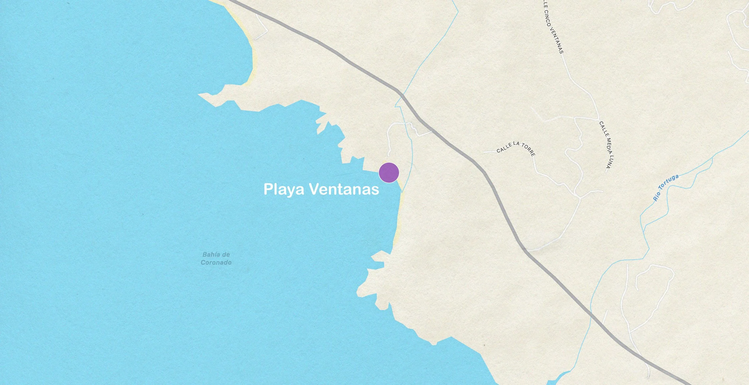
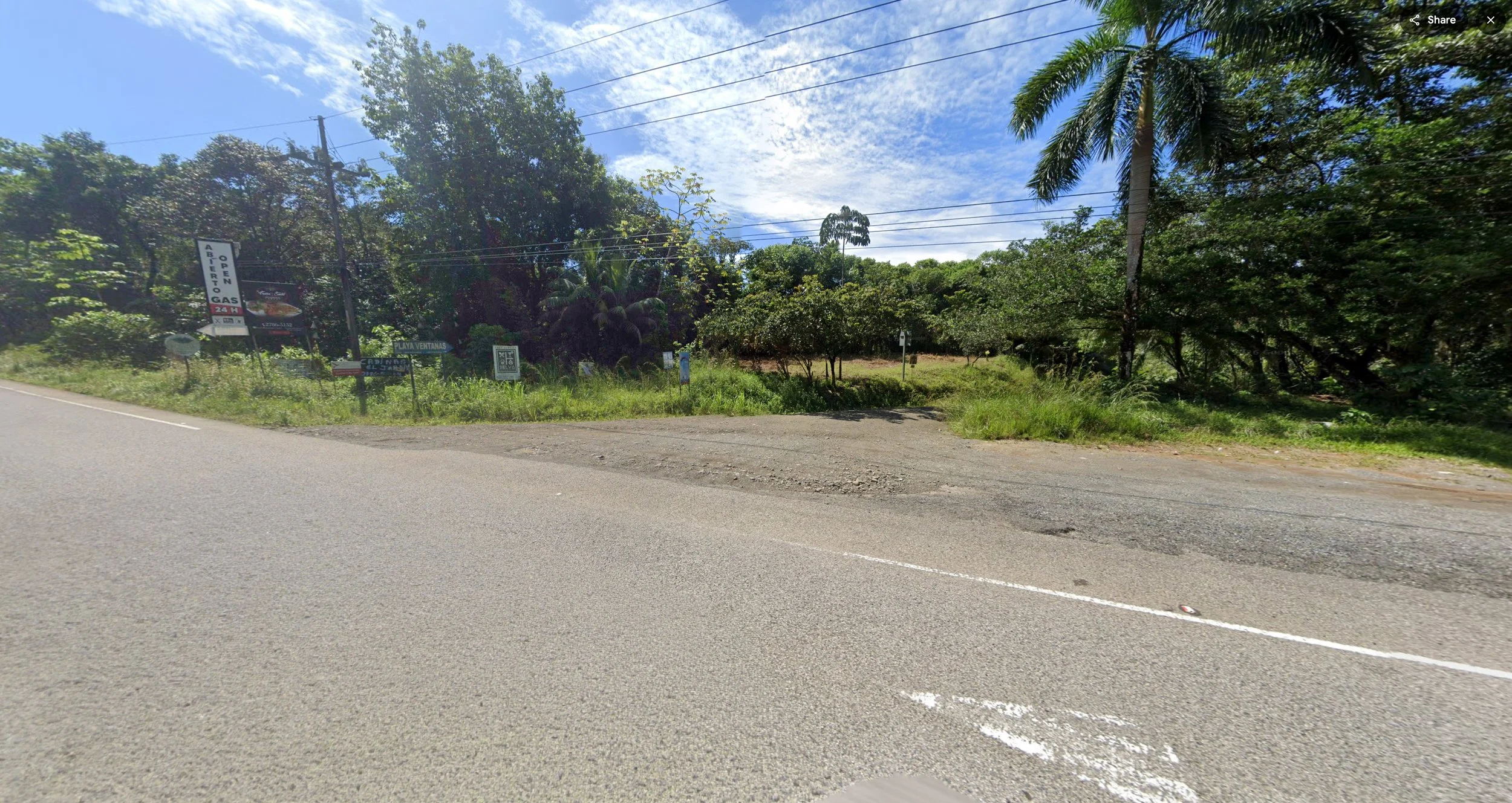
Playa Ventanas is about 28km (27 minutes) south of Caballitos del Mar. Drive south on La Costanera, and look for a descending driveway on right about 1km after you pass Playa Piñuelas. There’s a small creek to ford, and a bumpy dirt road, but the end result is totally worth the effort.
Surf
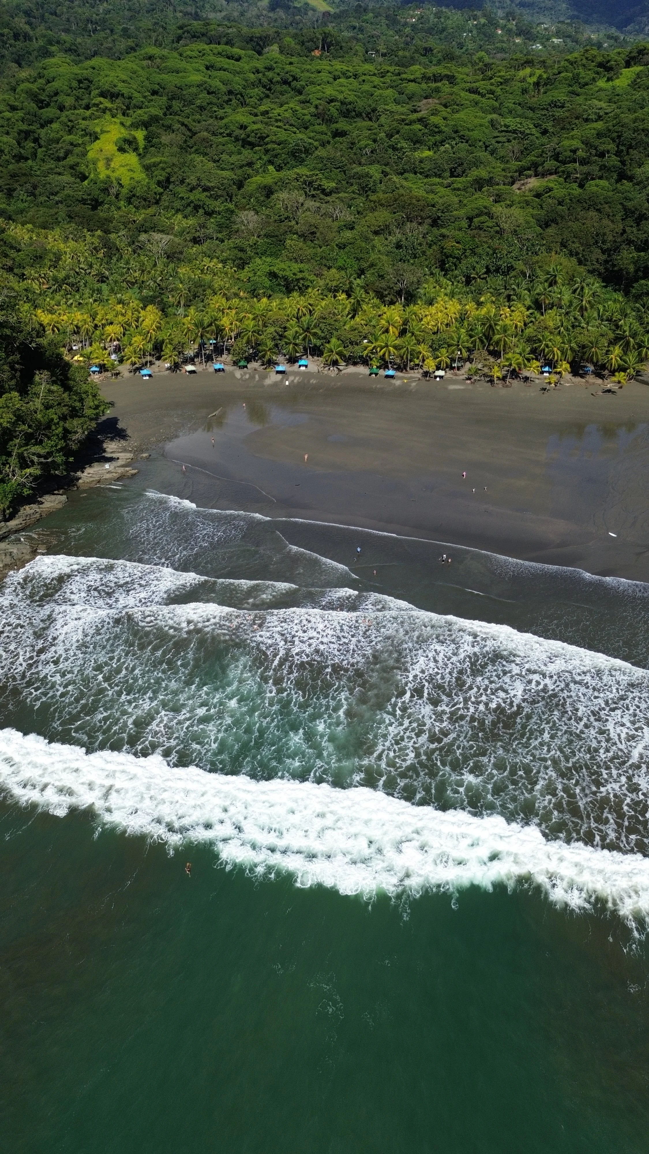
In all the times we’ve been to Playa Ventanas, we have not seen anyone surfing. Maybe it was the time of year, or just bad timing, but it’s more of a family beach with rentable cabañas, drinks, and of course, tunnels! As the tide recedes, it tends to leave depressions on the sandy bottom that can catch you off-guard if you’re not careful.
Beach info
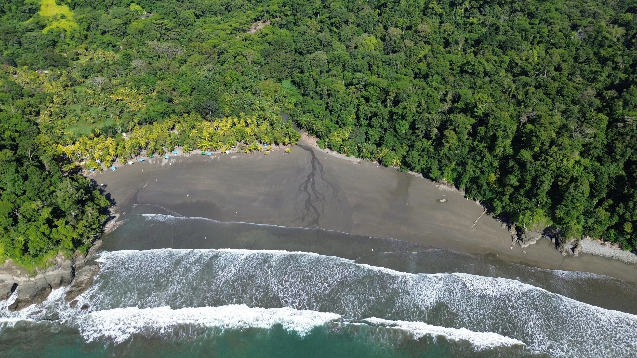
Located an additional 1.5km from Playa Pinuelas, Playa Ventanas is our favorite due to the geologic formation that has created two narrow passageways through rocky headlands. Depending on the height of the tide, you can either walk into the tunnels to the far side where they let in the ocean swells, or you can get a massive blast of compressed spray and wind caused by the waves rushing in the passages. Hard to explain, but fascinating. There are a number of small businesses which rent cabanas on the beach, or have drinks and snacks for sale. Safe parking is available for a modest fee. You’ll find salvavidas (lifeguards) on the lookout for safer swimming.


The Villas
There are lots of lovely places to stay in Costa Rica, yet very few are on the beach, and have direct access to the ocean. When we found a piece of property nestled in the forest but very close to the beach, we bought it despite the many complications of owning* property in the “Maritime Zone.” Regardless, we’re delighted we did because the proximity to the beach is vital to making full use of the beauty of Costa Rica


